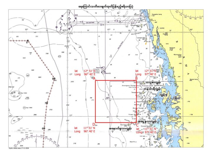
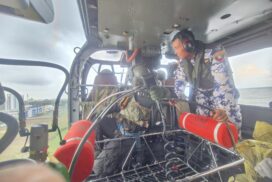
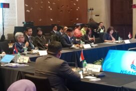
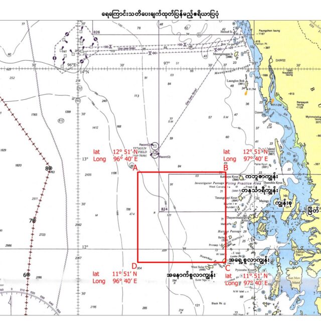
The Maritime Security Exercise will be launched from 25 to 29 November 2026 in the northern waters of the Andaman Sea, and it will include sea, aerial and underwater exercises and live firing missions. The exercise area where the coordinates are drawn is 12° 51′ of north latitude and 96° 40′ of east longitude for Point A, 12° 51′ of north latitude and 97° 40′ of east longitude for Point B, 11° 51′ of north latitude and 97° 40′ of east longitude for Point C and 11° 51′ of north latitude and 96° 40′ of east longitude for Point D and the maritime warning and aerial warning have been released.
Therefore, during the period of exercise, to ensure safety, the large and small ships, cargo ships, motorboats, fishing boats, and mechanized rafts are strictly prohibited from entering, anchoring, fishing, or deploying fishing equipment within a five-mile radius of the designated area. Moreover, the aircraft and helicopters are also prohibited from flying below an altitude of 15,000 feet over the area during this period. — MNA/KZL
Maritime & Aerial Warnings Issued for Maritime Security Exercise
- November 23, 2026