t (16)

33

t 16

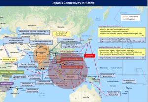
The map depicts the idea of passing through the Indochina Peninsula from the Indian Ocean to the Pacific Ocean by land. According to this diagram, cargo needs to be transshipped from Dawei to land. If a canal runs through the Indochina Peninsula, all nations/people can truly realize “Free and Open Indo-Pacific”.
Source: “Diplomacy that takes a panoramic perspective of the world map” made by the Ministry of Foreign Affairs of Japan, p.4

Hot News
Hot News
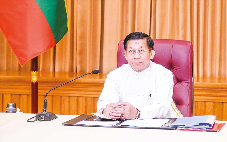
Myanmar reaffirms commitment to implementing Five-Point Roadmap
CBM sells 2.5M yuan for exporters, importers on 7 May
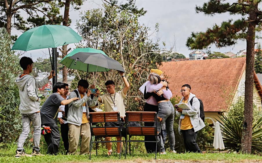
Myanmar youths invited to ASEAN-ROK Film Workshop in Laos
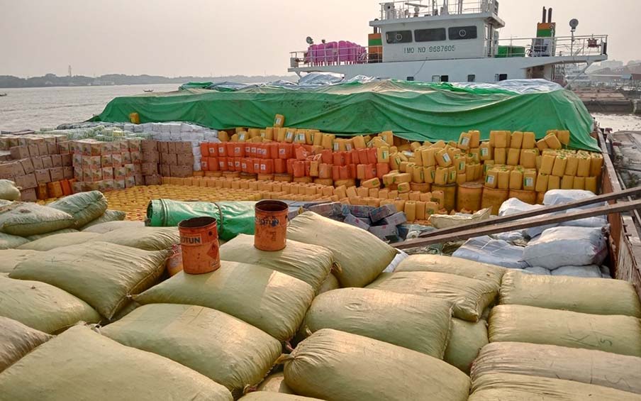
Rehabilitation materials despatched to Rakhine State
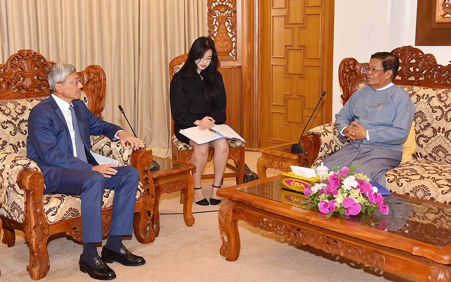
DPM MoFA Union Minister receives Chinese Ambassador
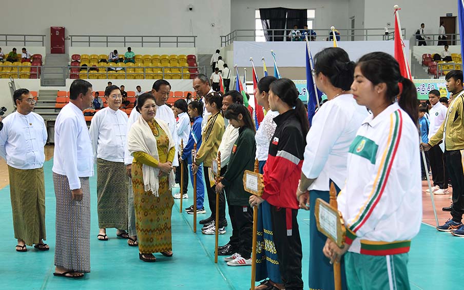
2024 ISR Volleyball Tournament commences
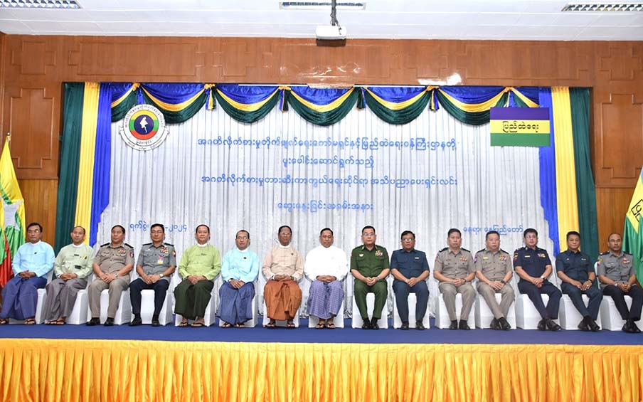
Anti-corruption awareness seminar held in Nay Pyi Taw
Malicious media alleges security forces use 9 locals as human shields in Hsihseng
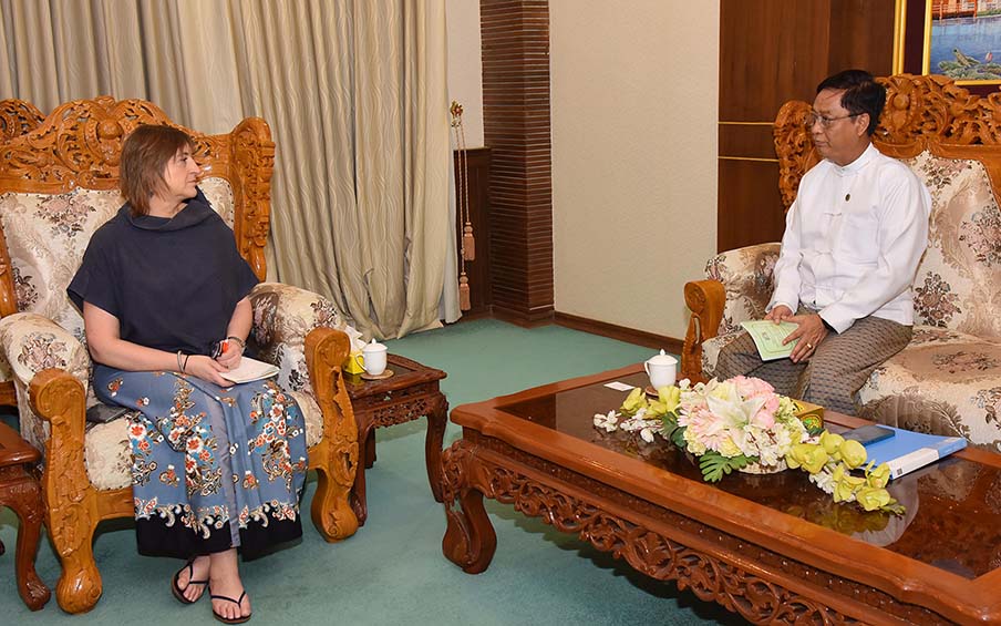
MoFA Deputy Minister receives ICRC Resident Representative
SAC member inspects rehabilitation processes in Hsihseng