t (16)

0

t 16

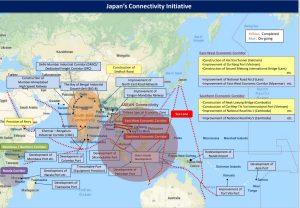
The map depicts the idea of passing through the Indochina Peninsula from the Indian Ocean to the Pacific Ocean by land. According to this diagram, cargo needs to be transshipped from Dawei to land. If a canal runs through the Indochina Peninsula, all nations/people can truly realize “Free and Open Indo-Pacific”.
Source: “Diplomacy that takes a panoramic perspective of the world map” made by the Ministry of Foreign Affairs of Japan, p.4

Hot News
Hot News
Asian Games Men’s Football: Myanmar to play decisive match against India today
Warmly welcome Kyat-Rouble payment system for both countries
Reduced demand, lower quality lead to onion price decline
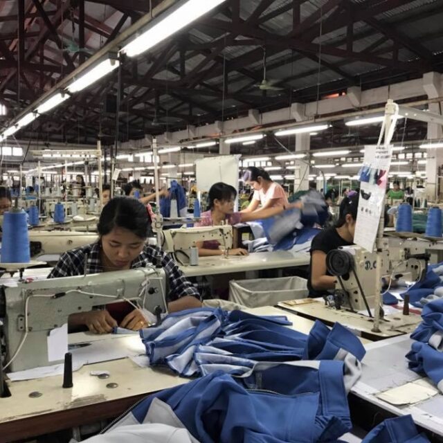
Panko Corporation to ramp up investment in Myanmar’s apparel manufacturing sector
Double earthquakes shake Bago, Yangon regions in single day
Upcoming 1,000 Alms Food Offering Festival at Kyaikpaung Pagoda in Paung Township
26 teams participate in Meiktila traditional boat race of pagoda festival
K500,000 profit set for acre of low-grade monsoon paddy
MoI UM attends 7th AMRI+3 meeting in Viet Nam
MoIP UM tours Chinese resident ID card issuance process at Jinsa Police Station in Kunming