U Hla Tun, director of the Department of Meteorology and Hydrology, advised the public to be aware of strong winds and hails in the central and upper Myanmar.
Incidents of hailstorms and strong winds can happen in April after Thingyan and early May in the central and upper Myanmar, according to the weather forecast.
Some incidents have occurred this month, causing damage in some areas.
“The areas to be aware of cover the whole country. Especially, people in the central and upper Myanmar should be careful. Cumulonimbus clouds are strong at this time. After being hot for the whole day, cumulonimbus clouds form from evaporated clouds. It is likely to happen in the evening as the main cause is overheating. It is during April and May. When the water vapour concentration is high, cumulonimbus is strong and it happens in early May after Thingyan,” said U Hla Tun.
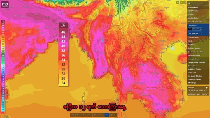
Daytime temperatures across Myanmar are forecast to gradually rise during the summer months of March, April and May. Moreover, under El Niño conditions, thundershowers accompanied by strong wind, hails, thunder and lightning are likely to occur in the afternoon or evening due to the convective cloud as daytime temperatures gradually rise across the country.
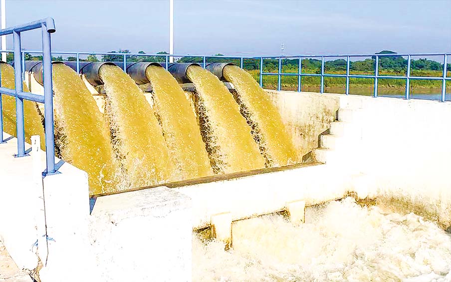
Since difficulties in agricultural and drinking water may arise along with hot weather and El Niño impacts, people are reportedly necessary to follow the warnings by relevant authorities to use agricultural water efficiently, to use a short-duration, high-yield rice variety, and to select and cultivate a high-yield rice variety with low water requirements.
Thit Taw/ZN

